Technology that’s out of this world
7 Dec 2017 02:59 PM
Blog posted by: Rick Short, 7 December 2017 – Categories:Innovation/savings, Research and development, Supply Chain.
At first glance, nuclear decommissioning isn’t an obvious area for deploying satellite applications. But the 2017 SSGP Showcase was a real eye-opener in demonstrating how data collected in space can be combined with other information to improve understanding of what’s on the ground.
Space age here on earth
The conference was organised by the Space for Smarter Government Programme (SSGP) which works with government departments and affiliated public sector organisations to help them realise the range of opportunities from satellite-enabled products and services.
SSGP is led, managed and funded by the UK Space Agency. The programme is delivered in close collaboration with the Satellite Applications Catapult, an independent company created to foster growth across the economy through the exploitation of space (which is part of a wider network of UK Catapults supported by Innovate UK).
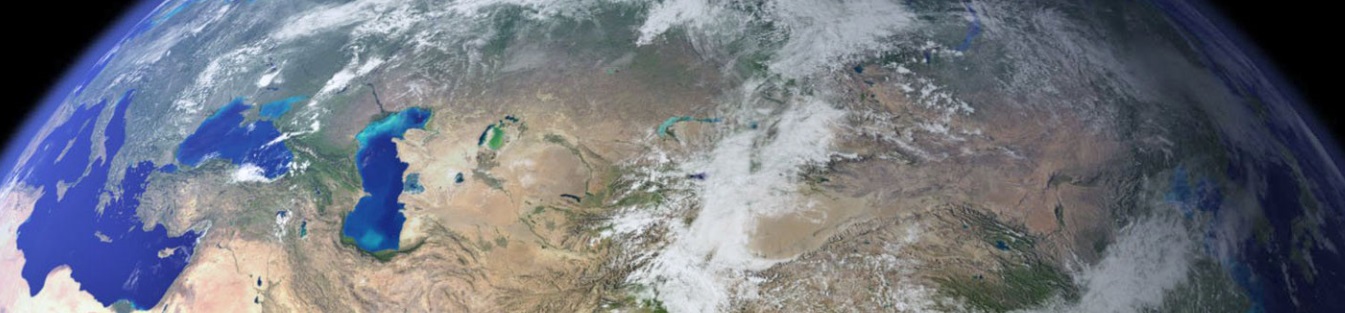
Monitoring our natural environment
Several of the presenters spoke about the natural environment and how satellite (earth observation) data has been used to monitor the quality of water, air and plant health
What was really evident was this data alone was often not the complete solution to many monitoring challenges. When combined with aerial and land-based observations and measurements, however, it can reveal additional information, helping with long-term predictions and planning in ways that wouldn’t be achieved with any of those methods alone.
The health of British forests was one great example – by combining historical (manual land-based) data on trees with satellite imaging data over the same period, correlations can be achieved, then used to predict the likely spread and effect of future disease outbreaks.
In relation to decommissioning, we might be able to use similar methodology around our 17 nuclear sites. At the time of construction in the 1940s and 1950s, detailed records across these 16,000 acres were not always made, which makes the task of decommissioning more challenging.
Monitoring groundwater flow is one area where we might be able to apply similar techniques; we have hundreds of boreholes across the estate that are manually sampled to provide data about water levels and radionuclide movement. If we identified (or purposefully planted) indicator plant species in and around the areas of interest, we could combine the manual measurements with satellite imaging to make predictions about groundwater movement.
For example, if we found a species that changed colour when certain concentrations of metal ions are in the soil, could we use them as indicator species that we could track from space without relying on boreholes being in the right spot?
As well as presenting some of the challenges associated with decommissioning the legacy nuclear estate, I was asked to join a mixed government and industry discussion panel at the conference. We discussed government infrastructure challenges, existing solutions and opportunities to address those challenges, which included an example of how space data is actually already being applied on nuclear sites.
Click here for full blog posted