OS OpenSpace – open to all
1 Feb 2008 04:39 PM

Ordnance Survey is this week making its Web 2.0 platform, OS OpenSpace, available to developers everywhere following a successful closed launch in December 2007.
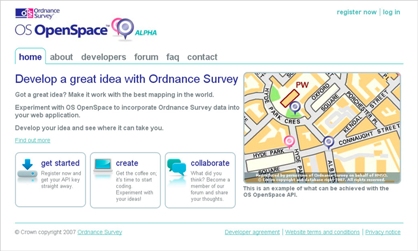
OS OpenSpace is a free service that allows users to build mash-ups of Ordnance Survey mapping in scales ranging from the whole of Great Britain down to street level.
The OS OpenSpace API (Application Programming Interface) has been undergoing testing by a dedicated set of developers since a ‘closed alpha’ launch on 14 December. Since then 12 developers have put data from OS OpenSpace on the Internet.
The service is now available to anyone wanting to develop experimental applications on the web using Ordnance Survey mapping.
The Minister responsible for Ordnance Survey, Iain Wright MP, says: “In launching OS OpenSpace, Ordnance Survey is taking a lead in providing greater access to public information. The launch will allow others to innovate using geographic information, with confidence in the national consistency and currency of the data they use.”
Peter ter Haar, Ordnance Survey’s Director of Products, is looking forward to seeing what the wider development community will make of the new API. Peter says: “We’ve had some good and constructive feedback since the initial ‘closed alpha’ launch last year. It’s also been great to see some initial applications appearing on the Internet.
“I trust that, with this wider launch, we’ll see many people making exciting and innovative use of the API and Ordnance Survey’s world leading geographic information.”
From today, anyone who registers at the OS OpenSpace website can access up to 30,000 "tiles" or extracts of data and up to 1,000 place‑name look-ups a day. Users can add markers, lines and polygons on top of Ordnance Survey mapping, search for place names with a gazetteer and display other location data from elsewhere on the Web.
The platform is a JavaScript API that uses "slippy map" technology, so users can grab and move images in different directions. As well as the API itself, OS OpenSpace will include a community website so developers can discuss, review and collaborate on projects.
Notes to editors:
1. Ordnance Survey is Great Britain’s national mapping agency, providing the most accurate and up-to-date geographic data, relied on by government, business and individuals. For the sixth year running Ordnance Survey will be sponsoring The Outdoors Show in March 2008 at the NEC, Birmingham. For more information visit:
www.theoutdoorsshow.co.uk
2. To download this news release visit
www.ordnancesurvey.co.uk/media. There you can also subscribe to our RSS news feed bringing you the latest Ordnance Survey news stories, as soon as they are published.
3. Ordnance Survey and the OS Symbol are registered trademarks of Ordnance Survey.
For more information from Ordnance Survey, please contact: