.jpg "Local government reorganisation (LGR) Hub")


Met Office
 Printable version Printable version
|
10-day trend: Unsettled at times, but staying relatively mild
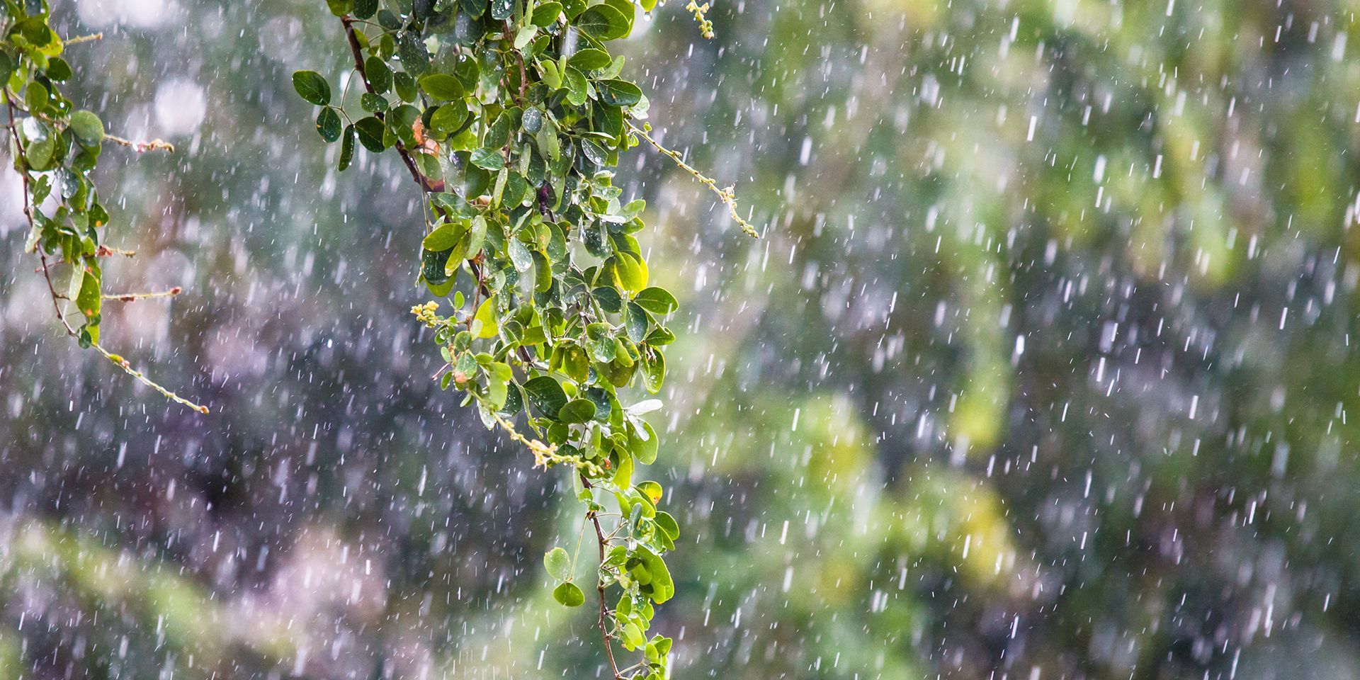
After a spell that has felt increasingly autumnal, the UK’s weather looks set to remain changeable over the coming 10 days.
Rain, blustery conditions and occasional sunshine will all feature, although temperatures are expected to stay close to or slightly above average for much of the period.
Wet and windy at the end of the week
Thursday will begin on a brighter note for many, with clear skies overnight leading to a chilly start. However, conditions will deteriorate from the west as a weather system moves in, bringing a spell of persistent and at times heavy rain.
As the system sweeps eastwards through Thursday and Friday, a trailing cold front is expected to generate heavier bursts of rain across parts of England and Wales. Some areas could see intense downpours, with hail and the risk of thundery showers developing behind the front. Blustery conditions are also likely, particularly across Scotland and Northern Ireland.
Rainfall totals may become substantial in some western areas. Western Scotland, western Northern Ireland and western Wales are likely to see prolonged periods of rain, while parts of North Wales could record particularly high totals through the event.
Temperatures will recover slightly on Friday following the cooler conditions earlier in the week. While highs may reach the low 20s in parts of the south-east, most areas are more likely to see temperatures in the mid to high teens, especially where cloud, rain and strong winds persist.
READ MORE: World Space Week: exploring weather on other planets
A showery start to the weekend
By late Friday and into Saturday, the rain-bearing front will finally clear south-eastwards. In its wake, low pressure to the north will bring a notably unsettled day across northern parts of the UK. Scotland is likely to experience frequent showers, some heavy and possibly thundery, accompanied by strong winds.
Further south, there will still be some showers around, but winds should be lighter and dry intervals more frequent. While northern areas could experience gale-force gusts in exposed locations, conditions across southern Britain are expected to be less severe.
Drier conditions on Sunday
Current indications suggest Sunday will bring a welcome improvement for many. Compared with Saturday, it is expected to be drier, less showery and generally calmer. Although there will still be some cloud around, many places should enjoy a largely fine day.
There remains some uncertainty regarding a weather system approaching from the Atlantic. While the most likely outcome keeps the rain mainly to the west of the UK through Sunday, there is still some uncertainty around exactly how the pattern develops. At present, the preferred forecast is for most areas to stay dry through much of the day.
READ MORE: 'Super El Niño'? '551-mile wall of rain and snow? Weather headline review
Typical autumn conditions next week
Attention then turns to the start of next week, when cloud and rain are expected to spread into western areas during Monday before edging eastwards later. The wettest conditions are likely to affect western parts of the UK, where rainfall may become heavy at times. Eastern regions should stay dry for longer before seeing any rain arrive.
Looking further ahead, forecast confidence points towards a familiar north-west to south-east split. Low pressure is expected to remain more influential towards north-western parts of the UK, bringing wetter and windier conditions. Further south-east, higher pressure should help maintain longer dry spells with lighter winds.
Temperatures remaining relatively mild
Although temperatures have recently turned cooler, there are no strong signals for any significant cold conditions during the next 10 days. Following a fresher weekend, temperatures may rise again briefly early next week, with some areas potentially reaching the low 20s before a gradual easing later in the period.
Keep up to date with weather warnings, and you can find the latest forecast on our website, on YouTube, by following us on X and Facebook, as well as on our mobile app which is available for iPhone from the App store and for Android from the Google Play store.
About this blog
This is the official blog of the Met Office news team, intended to provide journalists and bloggers with the latest weather, climate science and business news, and information from the Met Office.
Original article link: https://www.metoffice.gov.uk/blog/2026/10-day-trend-unsettled-at-times-but-staying-relatively-mild
.jpg "Local government reorganisation (LGR)")


