Met Office
|
|
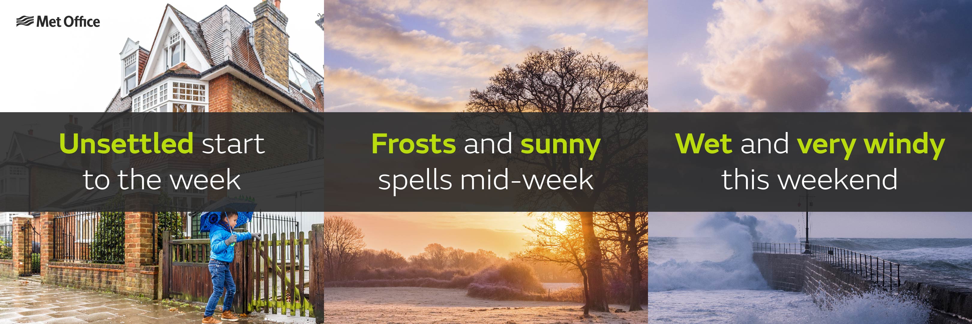
Wet and very windy weather to arrive this weekend
This weekend low pressure returns once again, heralding a spell of wet and very windy weather that looks likely to last well into next week.
Before that however, after a windy start this week high pressure will return from mid-week bringing more settled weather and much lighter winds.
Met Office Chief Meteorologist, Steve Ramsdale, yesterday said:
“It’s a windy day for the northern half of the UK on Monday and we’ve issued a yellow wind warning for western Scotland on Monday evening, where gusts could reach 80mph at times.
“Tuesday will then start off windy for most with coastal gales in places, before winds ease from the north later in the day.”

High pressure will build across the UK on Wednesday with much lighter winds and settled weather forecast for most for the rest of the working week. With clear spells overnight, we’ll also see frosts developing quite widely along with patchy fog or freezing fog. A gradual change to more unsettled conditions is then expected from the west through Friday, heralding an increasingly wet and windy spell of weather over the weekend.
Deputy Chief Meteorologist, Dan Harris, yesterday commented:
“Although still a long way off in forecast terms, there are relatively strong signals for very unsettled weather arriving this weekend, and probably continuing well into next week. Along with a spell of heavy rain, widespread gales are likely, and severe gales are possible in more exposed parts of the west and north of the UK. There is potential for National Severe Weather Warnings to be issued, so we are advising people to keep a close eye on the latest forecast and updates from the Met Office.”
Original article link: https://www.metoffice.gov.uk/about-us/press-office/news/weather-and-climate/2020/unsettled-this-weekend
.gif)

