

GeoPlace
|
|
Can the National Street Gazetteer support biodiversity by recording roadside verges?
Blog posted by: GeoPlace’s National Data Analyst, Matthew Van Schaick, puts forward some ideas on how the NSG could be used to record data on roadside verges, 29 September 2023.

Matthew Van Schaick
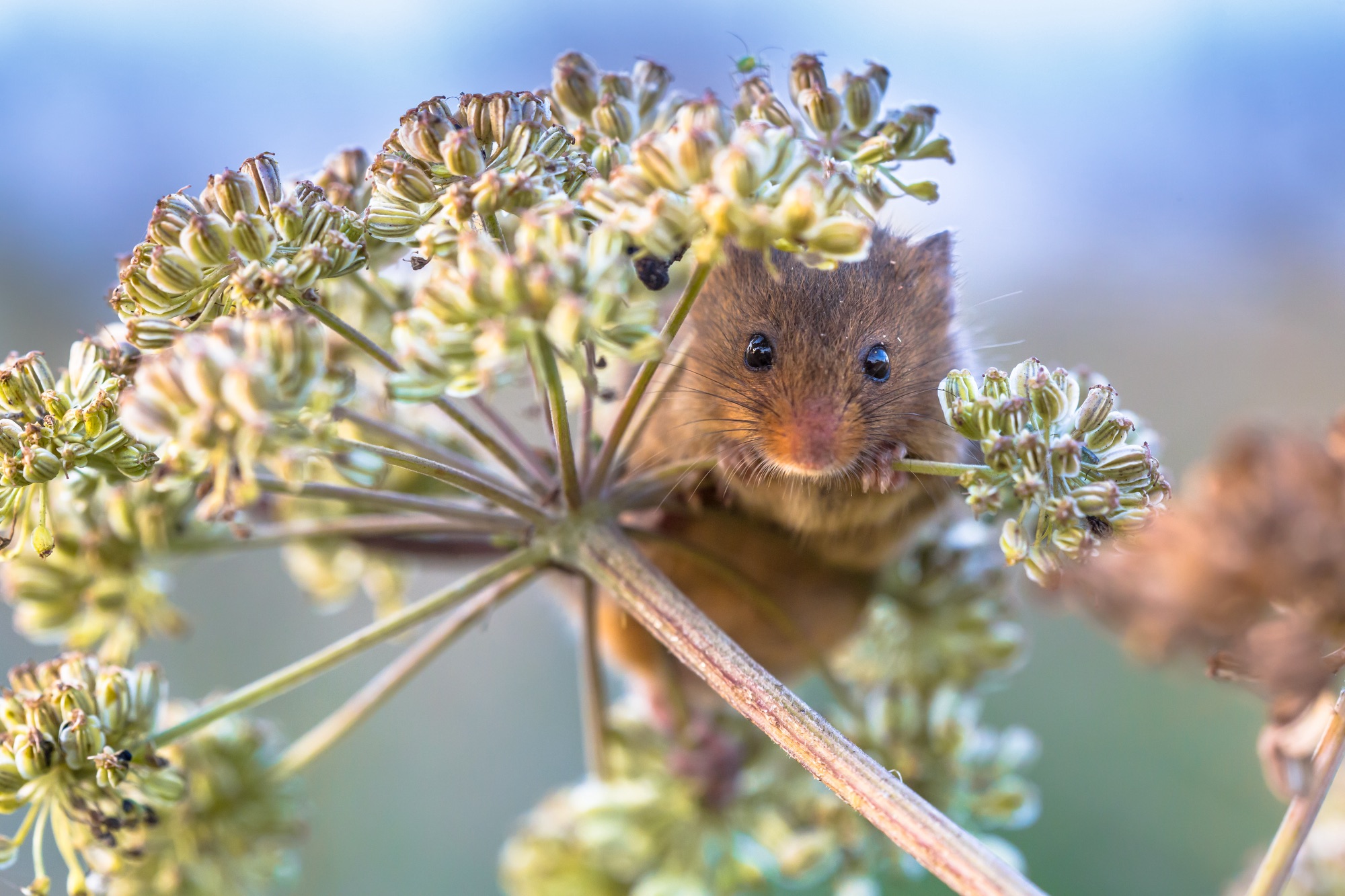
British wildflower meadows are integral to the ecosystem. Over time, these have been significantly reduced (reportedly by 97% since the 1930s). In part, this reduction is due to the expansion of the road network and infrastructure across the UK.
The reduction of wildflower meadows can have a wide impact. It means a loss of habitat for many small creatures, such as field mice, dormice etc, resulting in them seeking new habitats in roadside verges, even in busy, built up areas. So as the wildflower meadows are reducing, roadside verges are increasingly becoming more ecologically vital as a location for wildflowers to grow and thrive, attracting bees so vital for pollinating farming crops and flowers, and to ensure habitats for wildlife.
With the development of infrastructure, natural land is becoming fragmented, resulting in some road verges acting as ‘wildlife corridors’ assisting with the movement of flora and fauna across the countryside (Barkham, 2019), which means that roadside verges are essential in the promotion of British ecology.
Some roadside verges and meadows are already assigned as ‘protected’, by Natural England, as Sites of Special Scientific Interest (SSSI). Not all local highway authorities record these in the NSG as ‘special designations’ as it is currently optional to submit this data.
If the NSG was used to record the location of roadside verges, this data could be shared with other agencies who are working to maintain this fragile environment. A working relationship between GeoPlace, councils, highway services, wildlife trusts and other conservation agencies would be able to identify sites of interest and importance, which has occurred in parts of the UK. Working together, the aim is to protect and manage the verges and monitor the wildlife that resides along them, strengthening these ecosystems.
Being able to record the data would only be part of the solution. It would be important to promote and work with other agencies to protect the fauna and flora in the roadside verges as a way of helping in their preservation, as all too often we hear about rare plants or endangered habitats being stripped to make way for roads or drains, even when the information has been recorded in the data.
Click here for the full press release
Original article link: https://www.geoplace.co.uk/blog/supporting-bioviersity-through-the-inclusion-of-roadside-verges-into-the-national-street-gazetteer
| Home | About | Addressess | Streets | Helpdesk | News & Events | Exemplar | Consultancy |
